Most visitors learn two Māori words in Queenstown: the name of the lake, usually mispronounced, and whatever is written on the side of a tour bus. The basin has a much older and more specific history than that, and almost all of it is still in the names.
A note on how this is written. The traditions below are Kāi Tahu taonga, not general-interest trivia. Recorded versions differ between whānau and between rūnanga, and where they do we say so rather than picking one and presenting it as the account. If you want authoritative depth, go to Kāi Tahu's own published material rather than to a tourism website, including this one.
The names, and what they carry
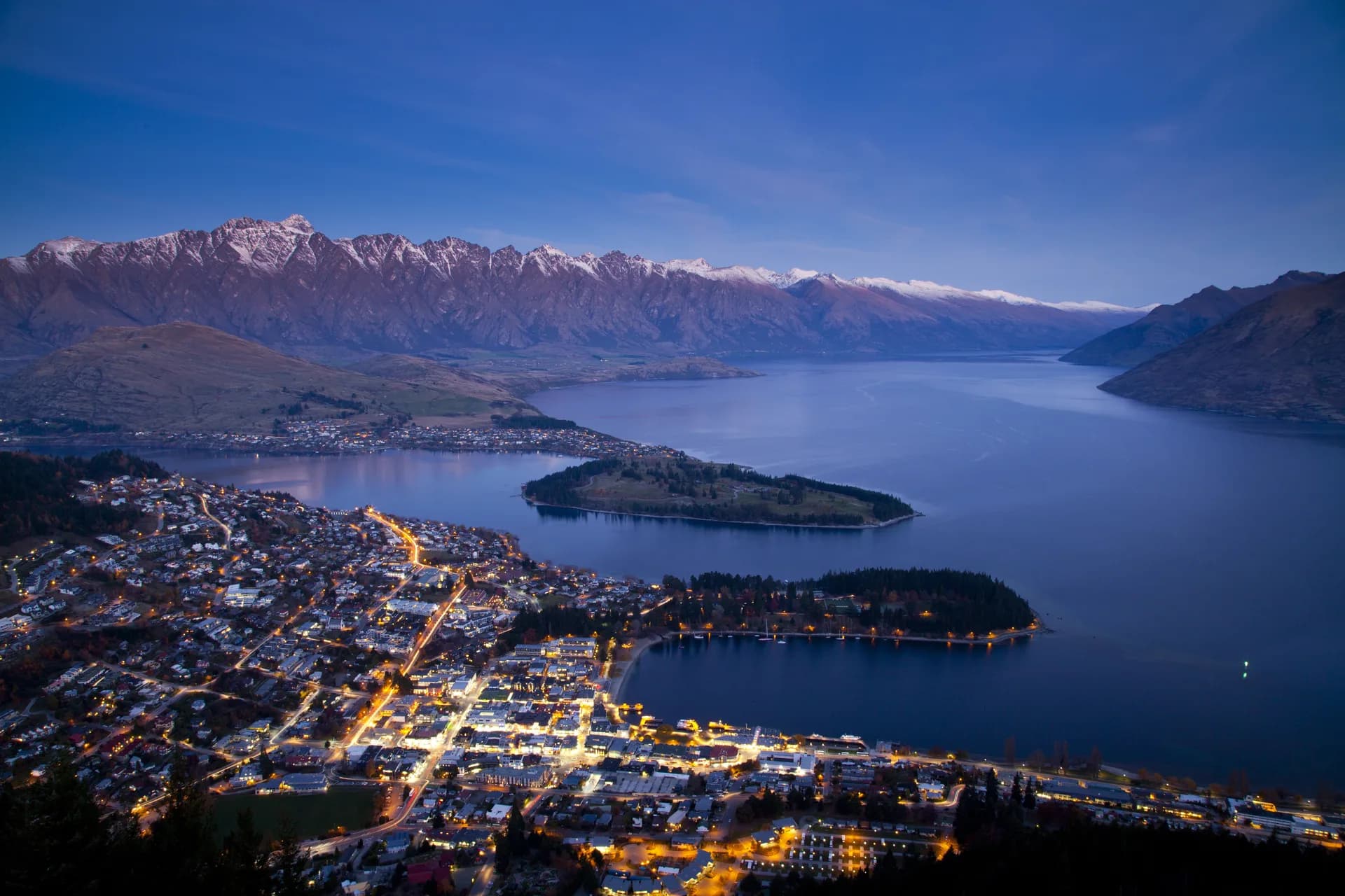
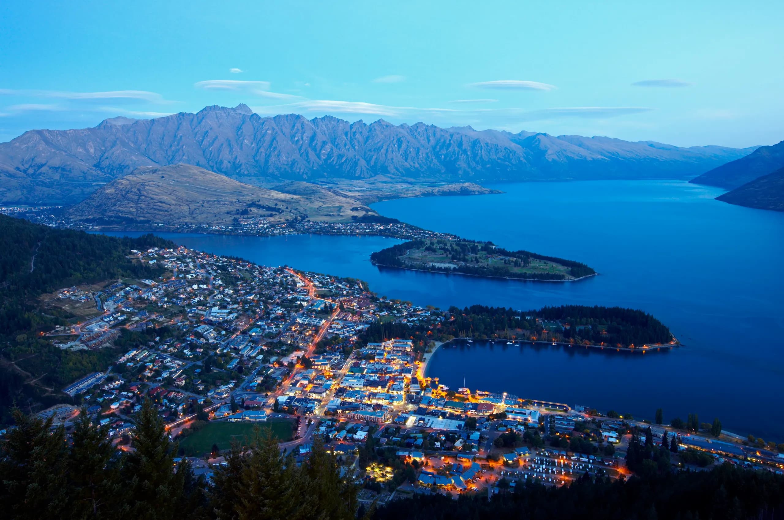
Tāhuna is the name of the place where the town centre stands. It describes a shoal or a shallow bay, which is exactly what Queenstown Bay is, and why the beach shelves so gently. It is a plain, accurate, geographical name. Whakatipu Waimāori is the lake. You will see it shortened to Whakatipu, and anglicised on every map as Wakatipu: that missing h is a transcription loss, not a different word. Wai māori is fresh water. The name is usually read as the fresh water of the Whakatipu, and the "whakatipu" element is associated in Kāi Tahu tradition with the hollow described below.Two other names you will meet:
- Te Wāhipounamu: the greenstone place, the name for the South Island's south-west, now also carried by the World Heritage Area.
- Kā Tiritiri o te Moana: the Southern Alps.
Note the southern dialect while you are here. In this part of the country ng is often k: Kāi Tahu rather than Ngāi Tahu, kā rather than ngā. Both spellings of the iwi name are correct and both are in current use: the tribal entity is Te Rūnanga o Ngāi Tahu, while Kāi Tahu is the southern form.
Whose place this is
Kāi Tahu are mana whenua across almost all of the South Island, including the Whakatipu. They are not the first people here: Kāi Tahu tradition and history record Waitaha and then Kāti Māmoe in the south before them, and the relationships between the three involved conflict, marriage and absorption rather than simple replacement. Many southern families descend from all three.
How the lakes were made
There are two accounts, and they are not in competition, they answer different questions.
Rakaihautū and the kō. In Kāi Tahu tradition, the ancestor Rakaihautū travelled the length of the island with a kō, a digging stick, named Tūwhakarōria, and dug out the great southern lakes as he went, filling them with fresh water and with food for the generations after him. It is an account of the interior lakes as a deliberately provisioned inheritance, which is a very different idea from scenery. Mātakauri and Manata. The story most often told about this lake concerns a giant, Matau, who took Manata, the daughter of a chief. Mātakauri went after her and brought her back. Later he found the giant asleep and set fire to him; the fire burned so fiercely and so deep that it hollowed out the ground where he lay, and snow-melt from the mountains filled the hollow. In the usual telling the lake's long dog-leg shape is the giant lying with his knees drawn up, and the seiche, the slow rhythmic rise and fall of a few centimetres that the lake genuinely does have, is his heart still beating.Details vary in the retelling: the names, who set the fire, how Manata was taken. Treat the shape of it as the tradition and the specifics as belonging to whoever is telling it.
The seiche, incidentally, is real and measurable. Lake Wakatipu oscillates on a cycle of roughly a quarter of an hour. It is one of the few cases where the traditional account and the hydrology are describing the same observation.
Trails, pounamu and mahinga kai
The Whakatipu was a corridor. Seasonal trails ran through the basin and over the passes at its head towards the pounamu of the West Coast, and pounamu moved back east along them: worked into tools, weapons and taonga, and traded the length of the country. Some of the routes the gold miners "opened" in the 1860s were these trails.
The basin was also mahinga kai: a working food-gathering place. Tuna (eels), weka, aruhe (fernroot), tī kōuka (cabbage tree) and seasonal birds. Whānau came in when the food was there and left when it was not. The absence of a large permanent settlement in the basin is not evidence of absence; it is evidence of a sensible response to an alpine winter.
Mahinga kai is not a historical term. It is a live concept in Kāi Tahu resource management, and it is one of the reasons the iwi has a formal role in decisions about the lakes and rivers here.
1848, and the long claim
In 1848, Kemp's Deed transferred an enormous area of the South Island, most of Kāi Tahu's rohe, to the Crown. Reserves promised to Kāi Tahu were not adequately set aside, and access to mahinga kai was progressively lost.
What followed was Te Kerēme, the Ngāi Tahu Claim: one of the longest-running grievances in New Zealand's history, pursued across generations. It concluded with the Ngāi Tahu Claims Settlement Act 1998, which included a Crown apology, financial redress, formal recognition of Ngāi Tahu as kaitiaki over specified lakes and rivers, and the restoration of traditional place names alongside English ones.
That is why official maps now carry dual names in the south. Those names are not decorative.
Kāi Tahu today
Te Rūnanga o Ngāi Tahu is one of the largest commercial entities in the South Island, with interests in tourism, property, seafood and farming, and Ngāi Tahu Tourism operates attractions across the region. Locally the iwi is a statutory party in resource consenting, which means it has a formal say in what gets built around this lake.
The practical point for a visitor: Kāi Tahu is a present-tense institution with a balance sheet and a legal standing, not a historical chapter. Reading the heritage here as something that finished in the nineteenth century gets the tense wrong.
Visiting well
- Use the names. Tāhuna, Whakatipu Waimāori. Saying them is free.
- Go to the Chinese settlement and the Lakes District Museum in Arrowtown, then notice how much more coverage the gold era gets than the nine hundred years before it. That imbalance is the story.
- Don't take pounamu from riverbeds. Under the 1997 vesting, all naturally occurring pounamu in the takiwā belongs to Ngāi Tahu. Buy it from a seller who can tell you where it came from.
- Treat maunga with some restraint. Mountains are ancestors here, not just terrain. It costs a visitor nothing to eat lunch below a summit rather than on it.
- Ask, if you want the real thing. Iwi-led tours exist and are the only place you will get this history from the people it belongs to.
Saying it out loud
Māori is phonetically regular, which makes it much easier than visitors expect. Vowels: a as in "car", e as in "egg", i as "ee", o as in "or", u as "oo". A macron doubles the length; it is not a stress mark. Wh is close to an English f. R is a light tap, nearer a Spanish r than an English one.
- Tāhuna: TAH-hoo-na
- Whakatipu: fa-ka-TEE-poo
- Waimāori: why-MAA-o-ree
- Kāi Tahu: KAI TA-hoo
- Mātakauri: MAA-ta-kow-ree
- Rakaihautū: ra-kai-how-TOO
Getting it approximately right and trying is better received than avoiding the words. The one to stop doing is "walka-tip".